

€ 8.07

Sponsored links
|
|
€ 8.07 |
To Shop
|
| COMPARE ALL WEBSHOPS (1) | ||
 Description
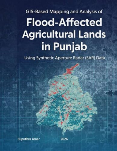
GIS Based Mapping and Analysis of Flood Affected Agricultural Lands in Punjab Using Synthetic Aperture Radar (SAR) Data
Compare webshops (1)
Sponsored links · Some shops pay us a fee
€ 8.07
Shops with other sizes
Description
(0)
GIS Based Mapping and Analysis of Flood Affected Agricultural Lands in Punjab Using Synthetic Aperture Radar (SAR) Data
 Related results
 Product specifications


